
Give the Water Somewhere to Go
Protecting What Matters, Part 6: Using Nature Against Mother Nature
Hurricane Helene reminded Greenville County of a hard truth: We can't stop the storm. But we can decide what stands in its way. When extraordinary rain falls, streams rise. Rivers leave their banks. Water looks for somewhere to go.
For thousands of years, nature has provided the answer: floodplains.
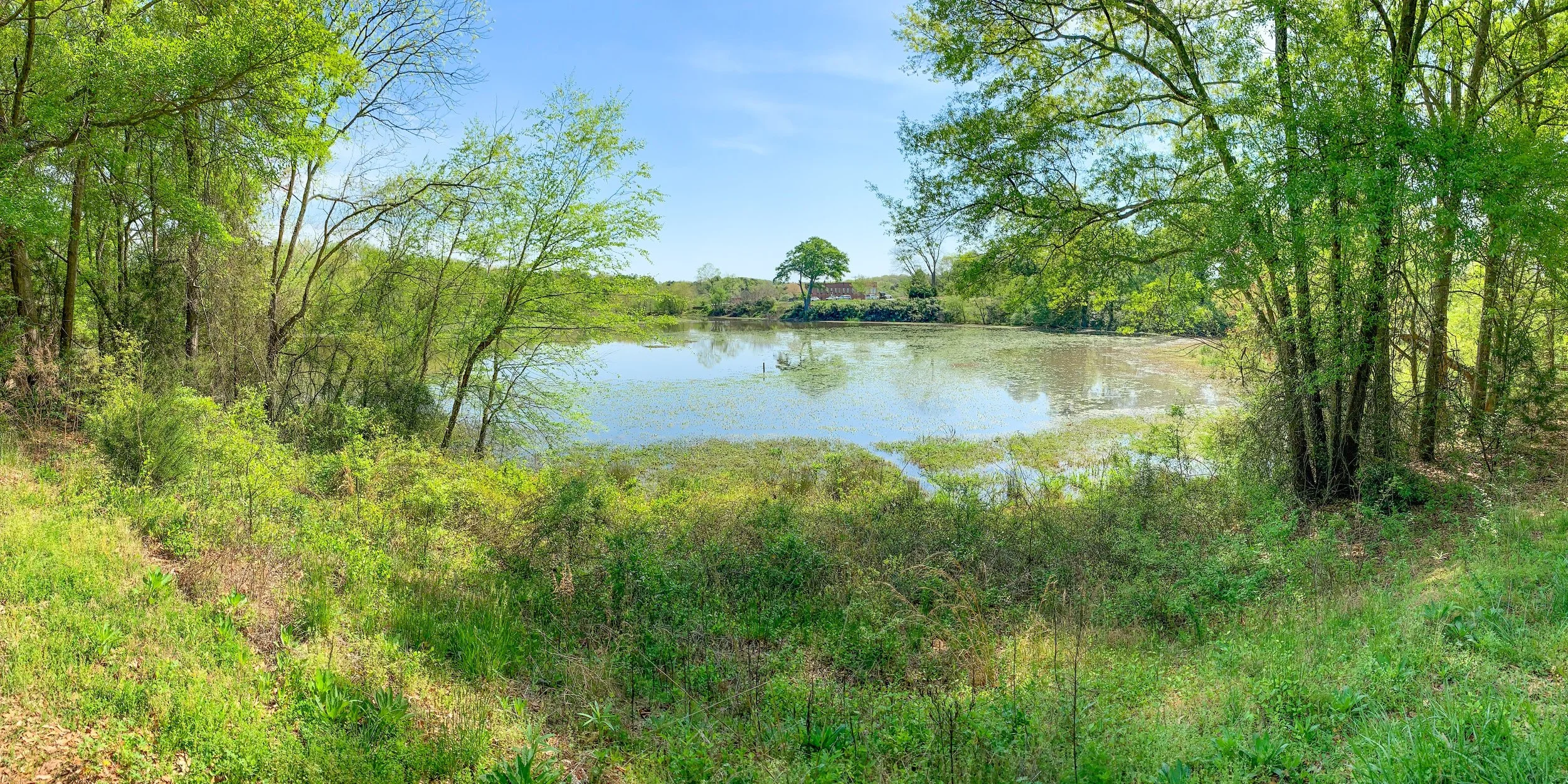
Undeveloped floodplains, wetlands, and vegetated stream corridors act like natural safety valves, giving floodwater room to spread out, slow down and temporarily store water rather than forcing all of it downstream at once.
The Federal Emergency Management Agency (FEMA) says natural floodplains can store and convey floodwaters, reduce flood velocities and peak flows, and reduce erosion and sedimentation.
Greenville County recognizes that floodplains provide temporary floodwater storage and help moderate peak flows and that these functions work best when floodplains remain in their natural state.
What Happens When We Develop Them?
Every building, parking lot or other obstruction placed where floodwater naturally wants to go can reduce the space available for water. The water doesn't disappear. That's why FEMA emphasizes protecting floodways: the portions of floodplains needed to carry the deepest and fastest-moving water during floods.
Sometimes the smartest flood-control project is the development we DON'T put in the floodway. Imagine two stream corridors during the next major storm:
| DEVELOPED & CONSTRUCTED | NATURAL & PROTECTED |
|---|---|
| Buildings | Forested floodplain |
| Parking lots | Wetlands / Open land |
| Impervious surfaces | Wide riparian (stream) buffers |
| Narrow stream corridors | Connected stream corridor |
| RESULT: Water has fewer places to go | RESULT: More room to store it, spread it, slow it |
And Greenville County Is Already Doing It
In 2025, along Little Creek and North Chastain Creek, Greenville County purchased repetitively flooded homes, removing families from harm's way. Now those sites are being restored using a 100% nature-based approach, restoring streams and vegetation to improve flood resilience, water quality and habitat.
When Greenville County's Historic & Natural Resources Trust worked with the Salvation Army and the City of Greenville to protect 18 acres of undeveloped floodplain along Long Branch Creek just northeast of Unity Park, it was a gain for everyone downstream, and for nature on site.
It's a powerful change in thinking: Instead of repeatedly repairing property in the path of water, give some of that land back to the water.
What If Greenville County Did This at Scale?
Identify important floodways and stream corridors before they're developed. Then use:
Voluntary land purchases
Perpetual conservation easements
Flood-prone property buyouts
Wider vegetated stream buffers
Wetland and floodplain restoration
More parks, trails, and greenways where public access is appropriate
Together these can create a connected network of protected river and stream corridors.
Those lands could do more than reduce flood risk. They can protect water quality, wildlife habitat, and streambanks while creating parks, trails and beautiful natural corridors in appropriate locations.
Helene Was a Warning
We will have more storms. We will have more heavy rain. And we cannot engineer our way out of every flood. But we can protect the places nature designed to hold the water. Use nature to protect us from Mother Nature. Protect the floodway. Protect the stream corridor. Give the water somewhere to go.
