
Before you can protect what matters, you have to know what you have.
Greenville County is blessed with some of the most spectacular natural landscapes in the Southeast. From our protected mountain headwaters and three state parks to the Greenville Water watershed, county parks, and privately conserved working farms and forests, tens of thousands of acres have been preserved for future generations.
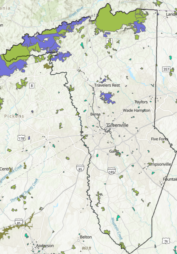
But here's the challenge: No one has ever assembled a complete picture of all that protected land.
That's changing. The Greenville County Historic & Natural Resources Trust is partnering with the South Carolina chapter of The Nature Conservancy to create the county's first comprehensive map of protected lands. This isn't just about counting acres — it's about making smarter decisions for the future.
Why does it matter?
Protect what's rare before it's gone.
Connect more neighborhoods to parks and trails.
Preserve remaining farms in southern Greenville County, where more than one-third have already been lost to development.
Invest wisely so more families have access to nature close to home.
The Trust for Public Land promotes a simple but powerful idea: everyone should live within a 10-minute walk of a park. Communities with good maps make better investments and healthier communities.
Why It Matters
The best conservation decisions begin with the best information. By understanding what Greenville County has already protected — and where the gaps remain — we can ensure future generations inherit clean water, working farms, thriving forests, and nearby places to explore, exercise, and reconnect with nature.
You can't protect what you don't measure. If a picture is worth a thousand words, a good map is worth a million.
